Apologies, its more that I'm thinking out loud based on what I know of how the estate was built so it doesn't translate well to what little I posted.
I think some of the confusion is the road names they are listing for the post code areas aren't 100% reliable. Its showing S14 1DF as Sandby Croft but its actually Sandby Drive (confirmed on Post Office website) so that could explain a lot if its a common mistake.
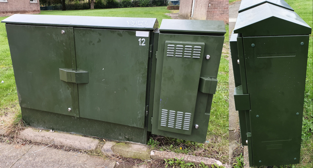
There is also
this cabinet which I think is
P62 based on which areas it covers. It doesn't help streetview is grossly out of date on some of these roads, this particular spot has had a Digital Region cabinet and obviously now an ECI, since this image was taken. I think it was re-shelled for the latter.
So I guess it answers my question, its probably mostly accurate to the post code (we know from experience there are always outliers when it comes to the Openreach database) but the road name may not be.
Again, sorry if I wasted your time, I'm just fascinated with infrastructure. I once spent hours mapping out the national grid wiring for the local area on Google Maps.

Plus I'm killing time as I got overly excited when this appeared.
Also
https://one.network/?115301631 which may be completely unrelated (there a cell tower at this location for smart meters), but its curious timing.

